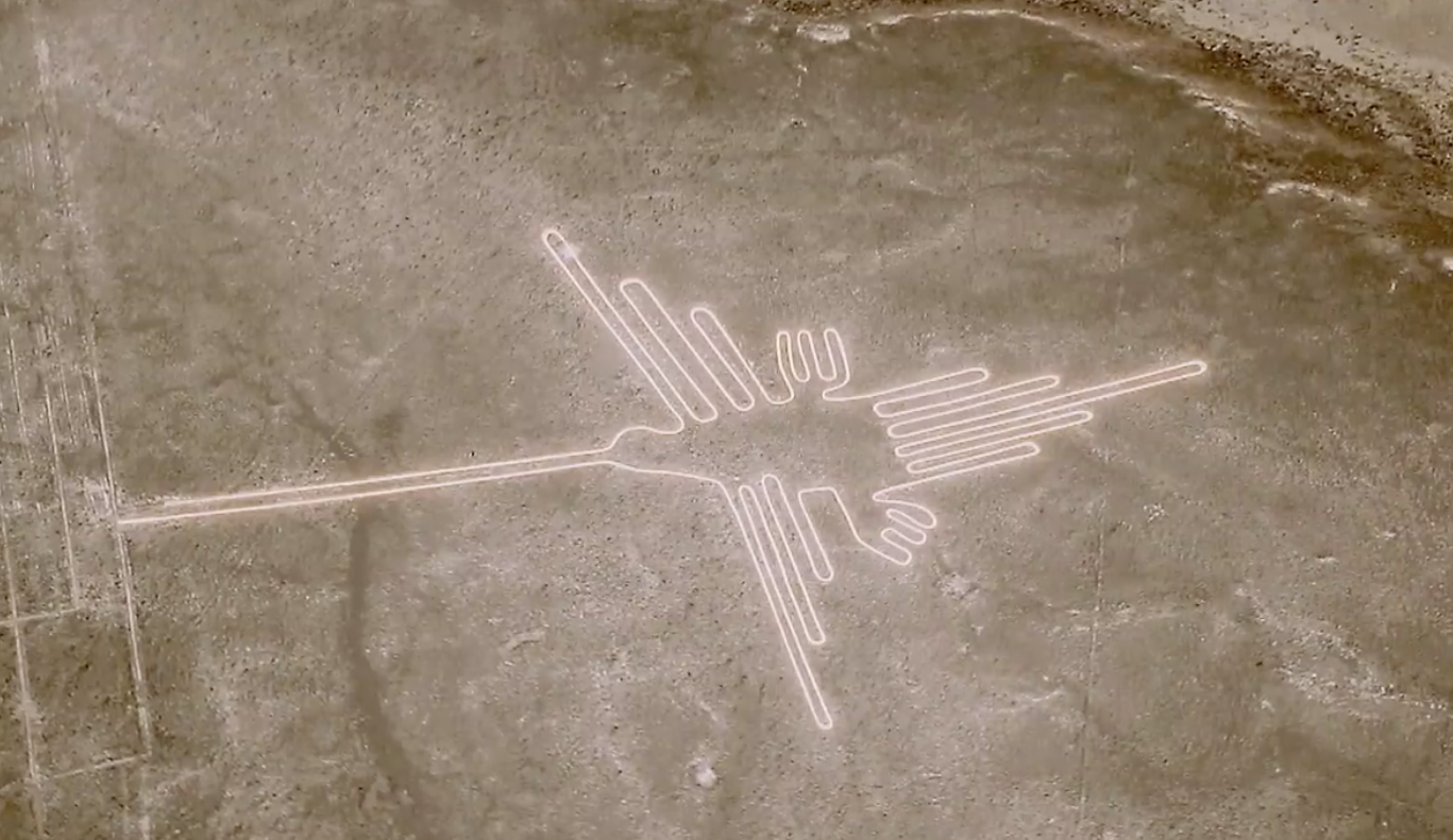
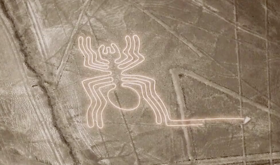
Technological advances have opened up new plausible explanations for the Nazca lines (“geoglyphs” for the scientifically minded). — Excuse me if you knew all of this long ago and I am late to the party, but here are a few of the fascinating (for me) things I learned from that lazy moment of watching a bit of TV: The Mystery of the Nazca Lines. I braced myself to turn it off assuming it would regale me with “mysteries” and “space aliens” but I got hooked. Here’s why:
Were the lines pointing to key astronomical points? That was the theory of mathematician Maria Reiche who first visited the region in the mid 1930s. But no. Yes, if one selects some lines to study they may align with a solstice, but such a theory breaks down when one learns that there are so many more lines to take into account.
Space aliens? That was Erich von Daniken’s theory about alien visitors from another galaxy. But I was never quite convinced that he had the final answer
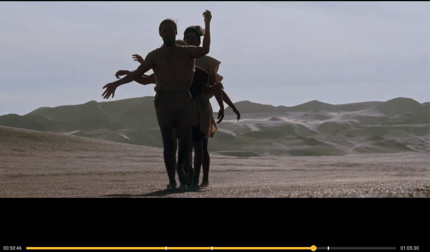
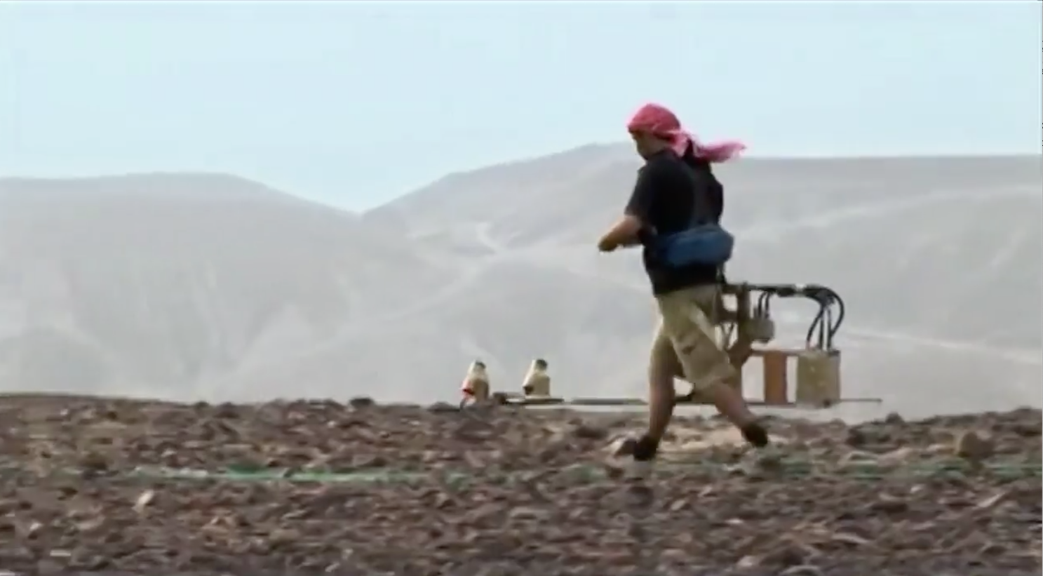
Science can now determine where people walked over a thousand years ago! A “magnetometry survey” is conducted to establish the likelihood that the lines were tracks for processions. The density of the land beneath the lines that have been cleared of stones (the dry, windless climate preserves the region over centuries), measured by variations in the magnetic field, “prove that the insides of the lines have been pressed down by multiple shocks — as if trampled on many times”. The geoglyphs were paths that people walked — or marched or danced — upon.
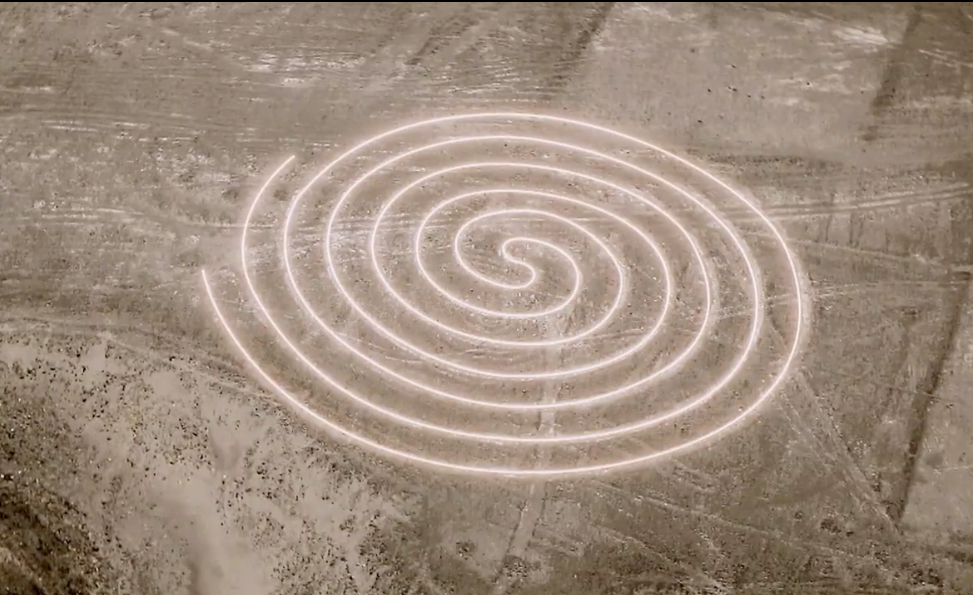
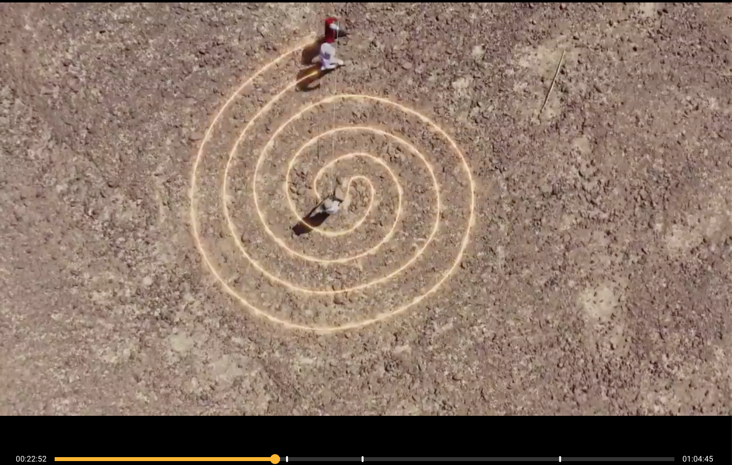
It was after this detail had been established that another feature was noticed: each figure is composed of a single line, as if there is an entrance and an exit. Even the circular lines are actually a single pathway. Those spirals have a turnaround in the middle that directs that single line to an exit.
Result: we can imagine people walking / marching / dancing single file through the figure, “experiencing the figure”. Sacred marches to communicate with the gods?
Then we have modern photogrammetry that can enable the production of very detailed 3-D images of vast areas. From these we learn that there are about 50,000 geoglyphs out there. Artificial intelligence helps humans find many of these by alerting humans to hitherto unnoticed patterns.
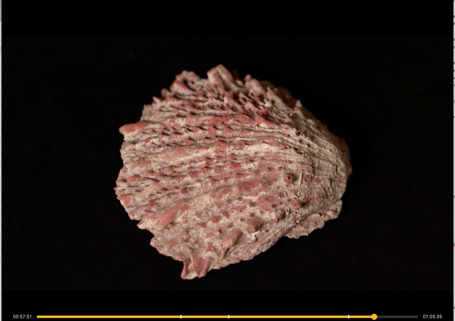
Related to the trapezoid lines are platform mounds that were determined to be altars for religious offerings, not only offerings of food but also of the spondylus shell imported from the far north.
The images depicted by these lines are all associated with water, we are told. All of the creatures are linked to water habitats, even the monkey and humming bird and spider. The ceremonies were related to the gift of water and fertility.
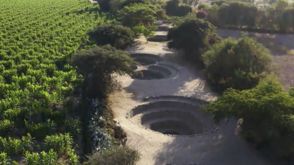
Underground tunnels were constructed to exploit the underground water through connected wells, some of which are still used today.
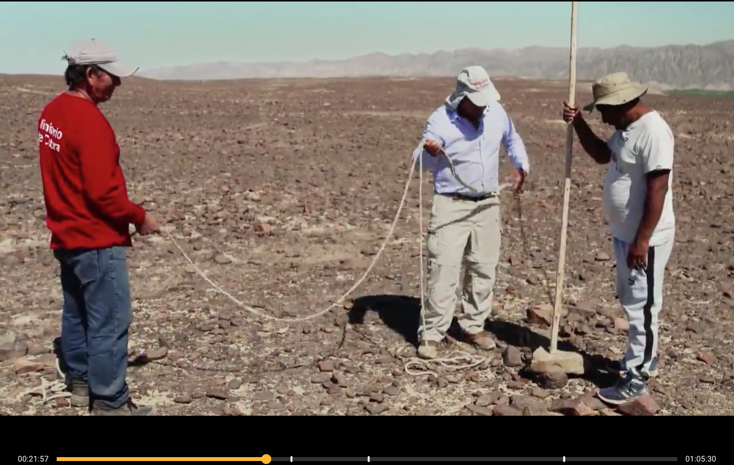
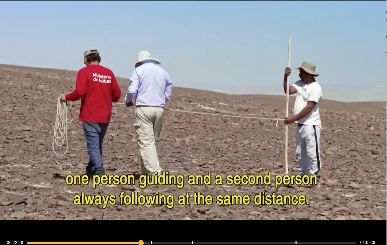
But how were the spirals created so perfectly? Not space aliens, as it turns out, but by the simplest technology of a stick and a rope. A people so smart will one day make it to the moon!
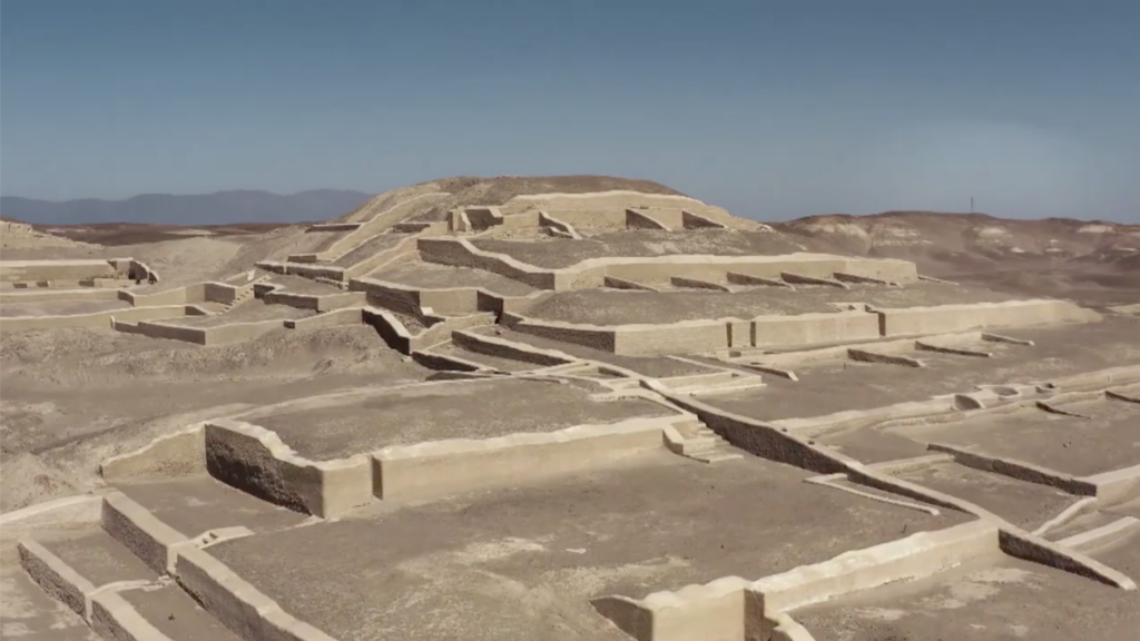
In the 1980s they discovered the “city” of Cahuachi but it lacks any evidence of a “normal population” (kitchens, cooking places, etc) indicating that it was, therefore, not a city but a vast ceremonial site.
In all, there are 24 square kilometres of multiple temple grounds. People would come from far and wide on special occasions for the festivities and sacrifices. Those sacrifices included humans — enemies as well as members of their own community.
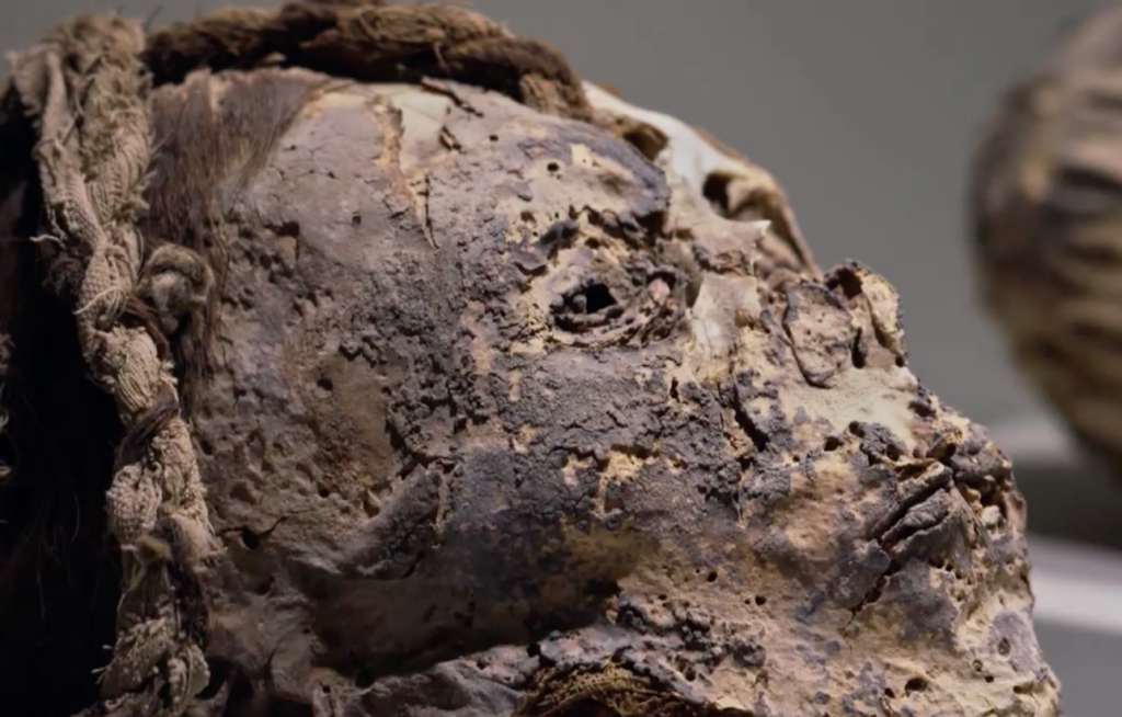
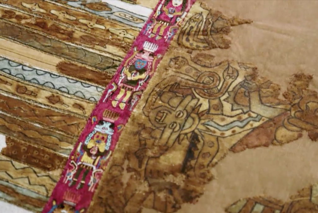
Hence we have depicted in textile art (of the cloaks worn by shamans) and pottery art trophy heads. The actual skulls have also been found:
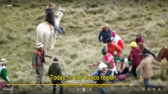
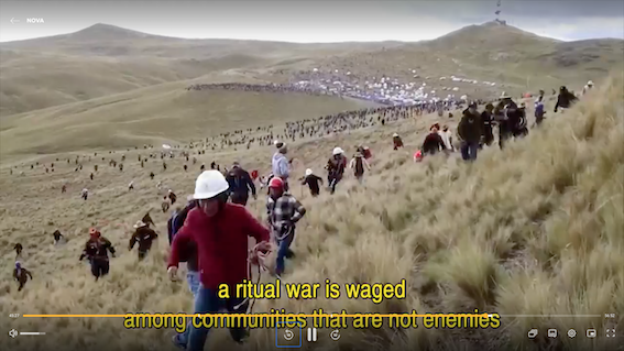
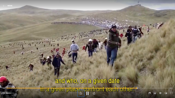
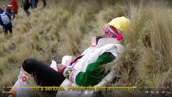
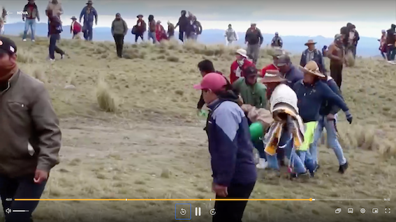
It is hard not to associate a traditional custom of violence still carried out today…. rival regions meet once a year for a collective fight. The documentary informed us that sometimes participants are even killed. I missed the details but presumably this is the Takanakuy.
What happened to it all?
For one, there was climate change. Not only climate change but climate change provoked by human activity. Another imperialist tribe made inroads that forced the traditional occupants of the area to cut down large swathes of forest in order to expand by creating new agricultural land. Result: El Nino (that leads to droughts here in Australia) produces wild floods in South America followed by extreme droughts.
There was also a massive earthquake.
Evidence of the stress experienced is found in a rash of renewed geoglyph constructions. The lines were higgledy-piggledy, some crossing over others, all suggesting a frantic panic of trying to appease gods who were no longer listening.
The people were forced to migrate into the mountains and that was the end of the Nazca civilization — around the end of the seventh century.
—-0O0—-
Persons from whom I learned the above, and more that I have not covered here (and in a more or less random order):
- Markus Reindel — German Archaeological Institute
- Henry Tantaleán – National University of San Marcos, Lima
- Aïcha Bachir Bacha — School of Advanced Studies in Social Sciences, Paris
- Johny Isla — Peruvian Ministry of Culture
- Guiseppe Orefici – Director of the Nazca Project
- Elsa Tomasto-Cagigao – Pontifical Catholic University of Peru
- Nicola Masini – Italian National Research Council
If you enjoyed this post, please consider donating to Vridar. Thanks!

Thank you! It seems most people get their exercise from jumping to conclusions (Ancient Aliens, et. al.).
I recall reading years back the suggestion that people would somehow scale tall poles and spin around on rope from the height to see them as part of some sort of ritual. — The assumption that because we can see them from aircraft was that the ancients had to have created them to be seen by humans (or aliens).